We are private sector partners with governments, utilities and local communities focused on improving access to clean water with unique resources, cutting edge innovation and industry-leading standards of environmental stewardship. Our purpose is to sustainably deliver clean affordable water to people who need it.
New Reality. New Solutions.
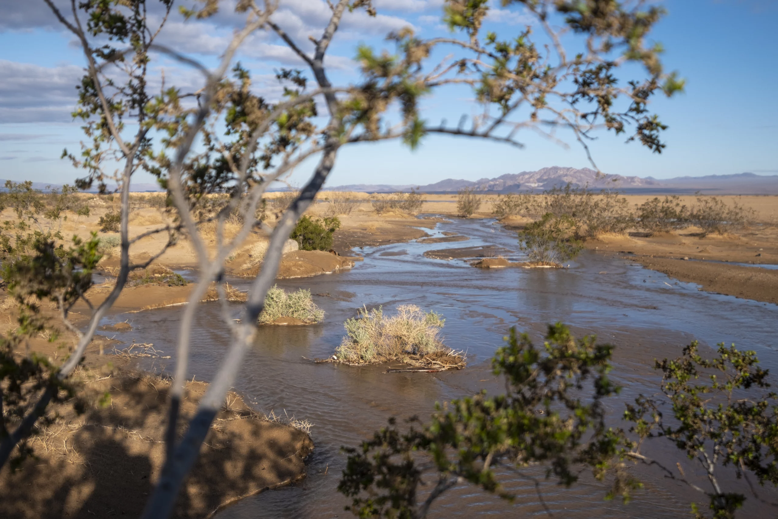
Communities face a new reality due to climate change, with unpredictable, extreme weather – extended drought, intense flooding – and too little storage to buffer those extremes.
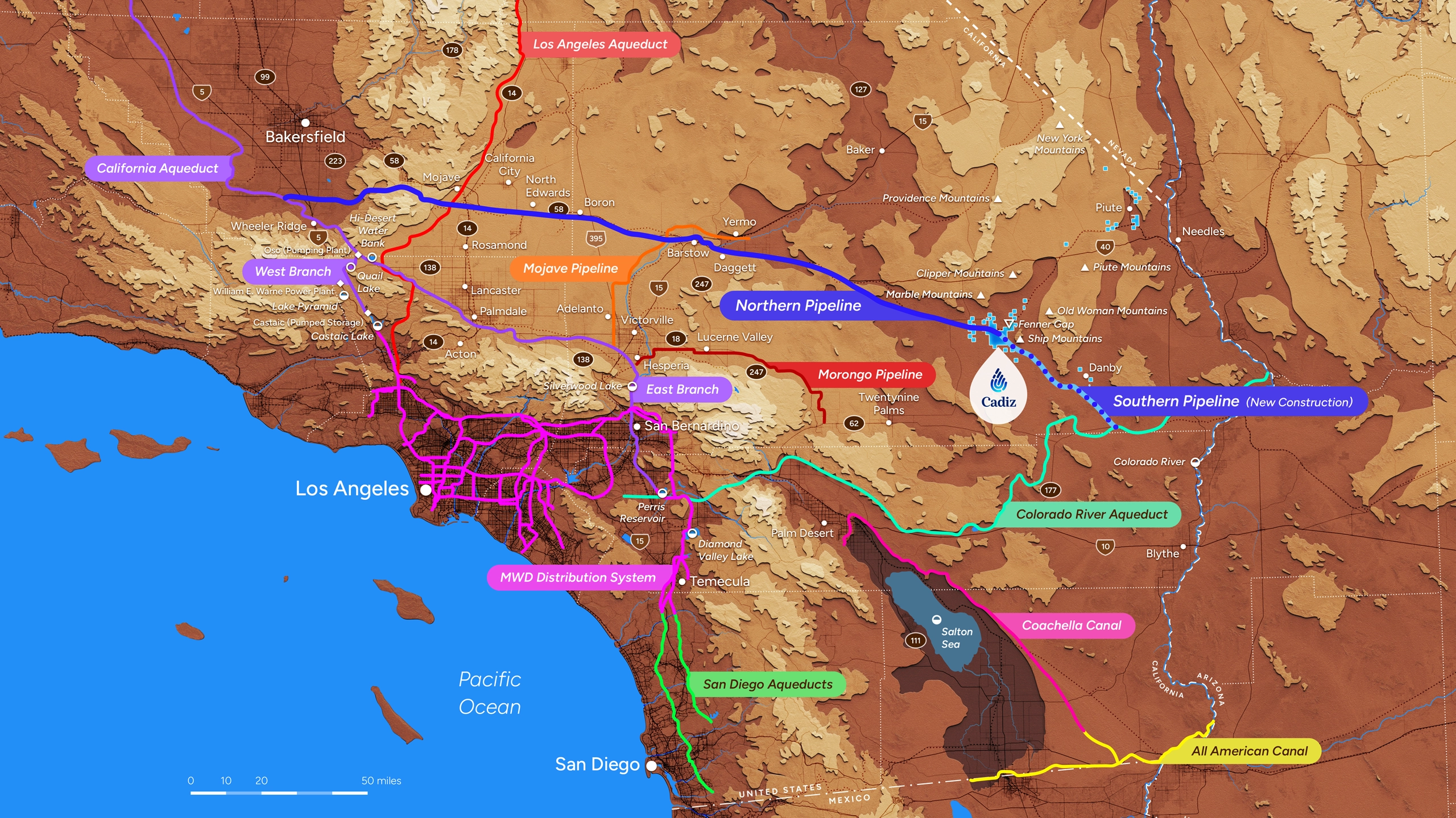
Water scarcity and flooding are solvable problems, with solutions ready to implement. Cadiz has developed assets and capabilities to address the water crisis in California and beyond.
In collaboration with public agencies, Cadiz offers new approaches to conserve, manage, and treat groundwater, including repurposing fossil-fuel infrastructure to bring clean water to communities in need.
We provide water while not harming the environment.
Focused on providing water for human consumption
while minimizing environmental impacts.
Partners in Water Equity
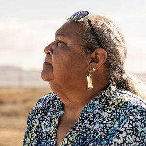
Wealth, geography, and seniority should not dictate access to reliable, affordable water. Clean water is a human right, yet our dated infrastructure can no longer deliver it reliably.
Cadiz advances equity by helping communities secure access to safe, reliable water supplies. Too many struggling areas have to choose between drawing on dangerous water supplies and forgoing other necessities. Our partners include water agencies, local governments, community leaders, and environmental justice advocates, working to solve today’s water challenges with new solutions. Together we can build resilience and community trust, while ensuring access to clean water for all.
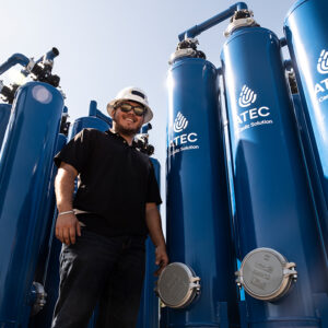
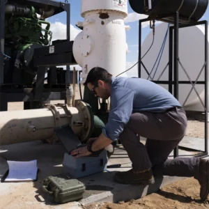
We take responsibility for our unique assets and have a comprehensive and robust approach to environmental stewardship. We use innovative techniques to deliver clean, affordable water in a sustainable way. We’re proud to lead our sector in reclaiming water that would otherwise be lost to evaporation; repurposing fossil-fuel infrastructure to transport water; investing in extensive groundwater monitoring for sustainability; protecting endangered wildlife from climate change; providing cost-effective technology to treat contaminated water; and advancing sustainable agriculture.